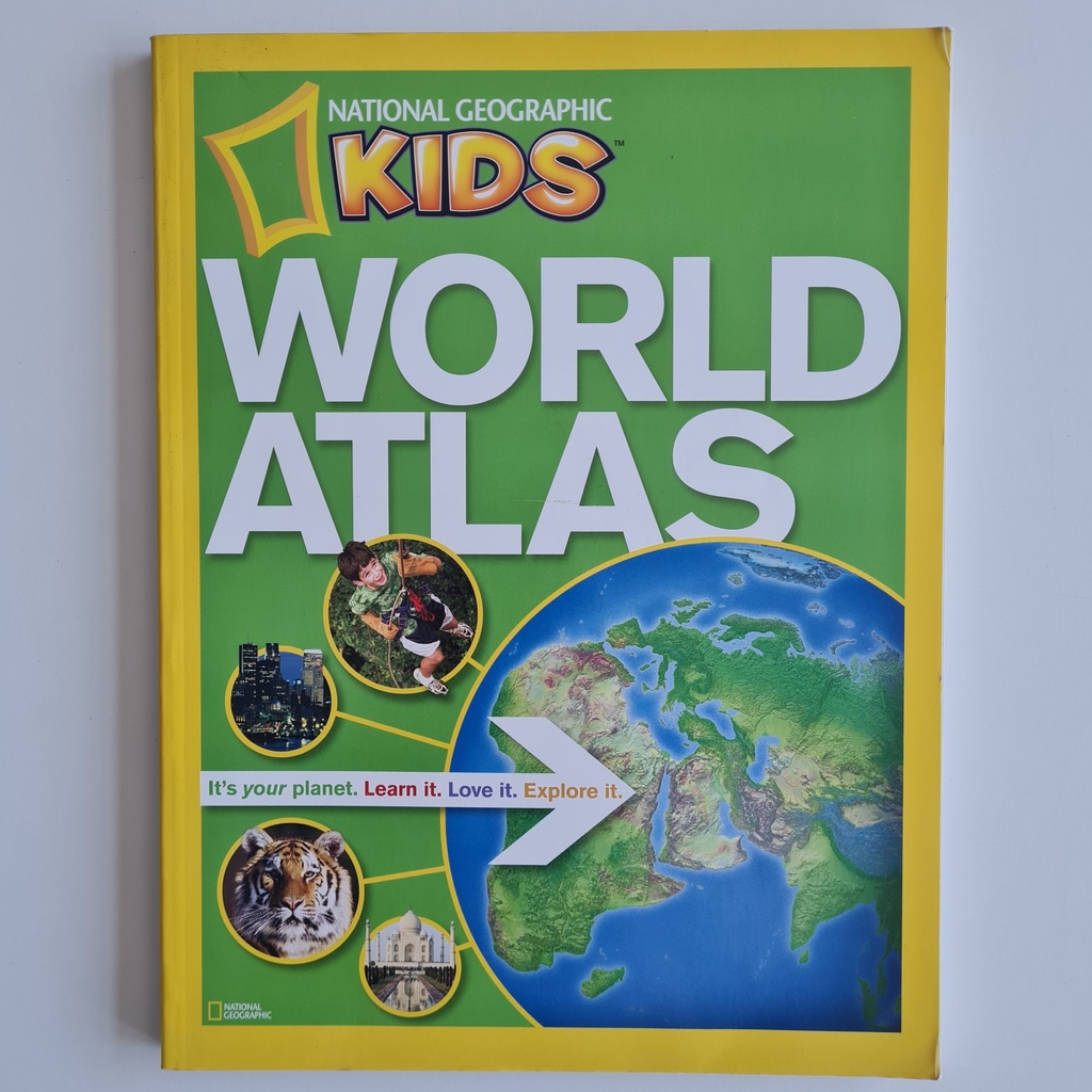
World Atlas
Gostou? Compartilhe:
Queira acessar a página de definições e marcar a opção "Colocar manualmente"Descrição
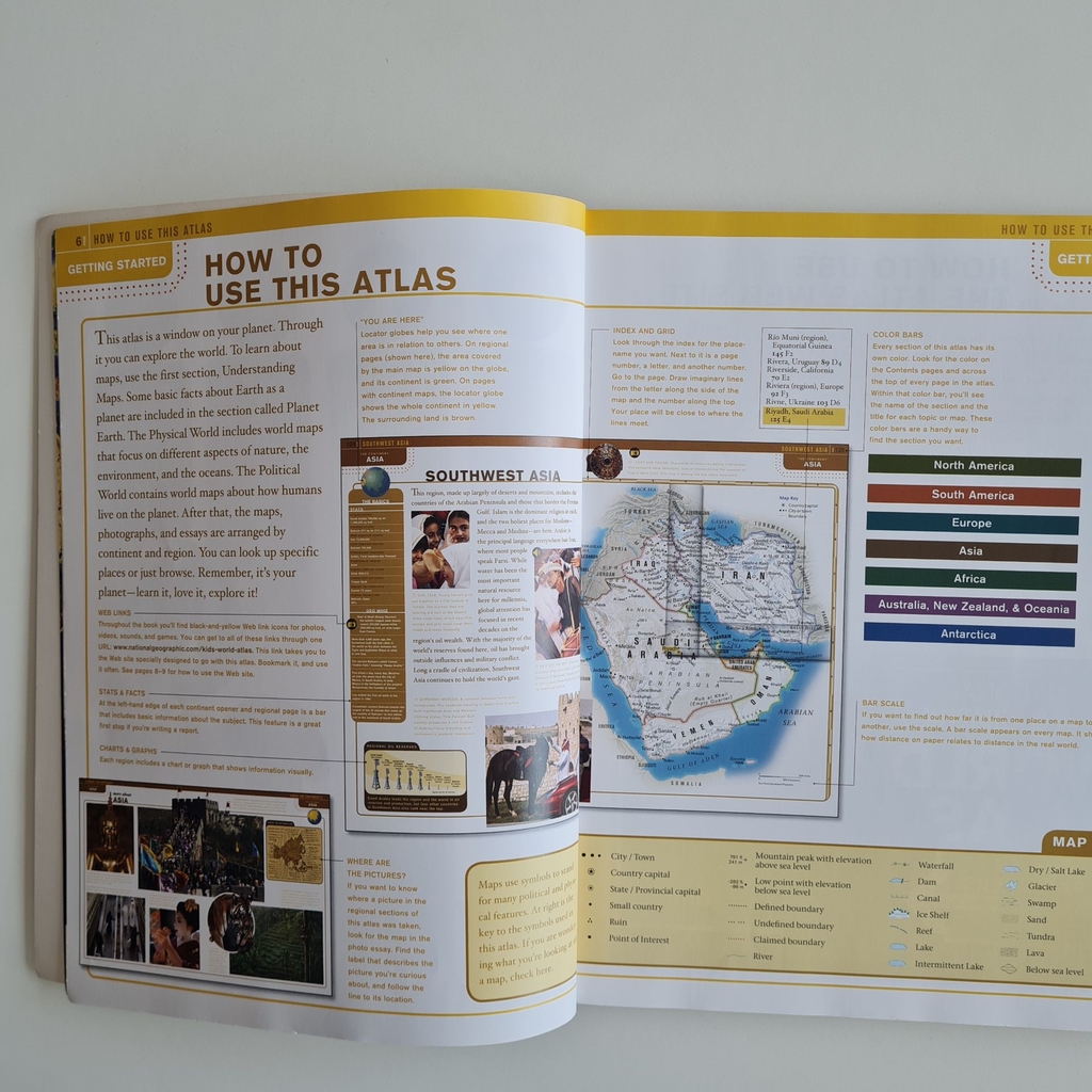
More than 200 colour images transport kids to intriguing places, and 115 pages of full-size National Geographic maps help them locate countries, cities, regions, and more. Created by the most trusted name in cartography, these colourful maps have been custom designed for middle-grade students. Boundaries, place-names, and data reflect the most current information available, and every map appears in the context of surrounding areas to ensure that a full picture of the world develops. Same-size physical and political maps make for easy comparisons and help youngsters understand how physical features influence patterns of human settlement and economic activity. Locator globes and color-coding make it easy for kids to keep track of where they are and quickly navigate from one region to another. Stunning images from space draw visual links between real-world scenes and cartography. Plus, an interactive Web feature links kids to the Societys vast archive of maps, articles, photos, videos, music, languages, crafts, quizzes, and more. With a dynamic reference like this, homework has never been so fascinating.


Avaliações
Não há avaliações ainda.